Find Your Way Across the Cotswolds: Maps, Waymarks, and Smart Walking Tools

Today we dive into Navigating the Network: Maps, Waymarks, and Walking Apps for Cotswold Paths, so you can explore honey-stone villages, rolling escarpments, and wildflower meadows with confidence. From trusty paper Ordnance Survey sheets to the acorn-signposted Cotswold Way and feature-rich apps, you’ll learn practical, joyful methods to stay oriented, stay safe, and savor every step. Share your questions, favorite tools, and stories so we can refine routes together and celebrate this extraordinary landscape.

Reading the Landscape like a Local

The Cotswolds reward walkers who can read clues hidden in hedgerows, dry-stone walls, church spires, and those softly stacked contours that hint at generous climbs. Understand how public footpaths, bridleways, and byways knit farms and commons together, and you’ll reduce wrong turns while discovering views many rush past. We’ll blend countryside etiquette with practical map-reading habits, equipping you to anticipate junctions, notice waymarks sooner, and relax into the rhythm of old paths threaded through timeless villages and open hillsides.

Contours, Elevation, and Effort

Contours on OS maps tell the story of your day: tight lines near Cleeve Hill signal thigh-testing pulls, while broad spacing promises gentler crossings between hedged fields. Use contour shapes to predict wind exposure, rest points, and photo stops, then match expectations to daylight. Estimating ascent and descent helps pace snacks and water, choose kinder gradients when blistered, and time a celebratory tea before the village shop closes. When mist lowers, contours remain your most honest narrator.

Rights of Way Decoded

England’s waymark arrows whisper permissions at a glance: yellow for footpaths, blue for bridleways, sometimes red for byways open to all traffic, and the proud black acorn guiding National Trails like the Cotswold Way. Fingerposts may list destinations or grid references, while discs on gates confirm direction changes. Pair signs with the Countryside Code—close gates, keep dogs under control near livestock, stick to the line even when it feels counterintuitive—and you’ll move respectfully, confidently, and with fewer frustrating backtracks.

Field Boundaries and Seasonal Clues

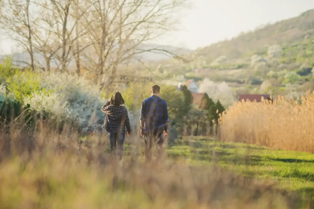
Hedgerows often align with mapped boundaries, helping you judge whether to hug a fence or angle toward a stile half-hidden by summer growth. Dry-stone walls funnel sightlines, while crop lines reveal well-trodden routes after recent ploughing. In lambing season, expect polite notices requesting short diversions or dog restraint; permissive paths may appear or vanish with farm schedules. Read the land for tractor ruts, kissing gate positions, and copse edges, and confirm each hunch with your map to glide forward smoothly.

Confidence with Paper: OS Explorer and Landranger

Paper maps nurture judgment in places where batteries fade or signals vanish behind folds of limestone. OS Explorer (1:25,000) reveals field boundaries, stiles, and subtle woodland rides, while Landranger (1:50,000) excels at broader planning between towns, ridges, and railheads. Learning to translate gridlines into precise locations, and to set a bearing in confusing valleys, turns uncertainty into calm curiosity. Add a lightweight compass, a map case, and smart folding, and you’ll keep information instantly accessible in brisk winds and drizzle.

Digital Companions on the Trail

Smartphone apps complement paper by recording tracks, surfacing hidden viewpoints, and warning of unexpected detours. OS Maps, Komoot, AllTrails, and Outdooractive offer downloadable tiles, GPX imports, and route planning suited to the Cotswold Way’s acorn-steered backbone and countless linking footpaths. But digital confidence depends on preparation: offline maps, conservative battery habits, and a power bank elevate convenience to reliability. Used thoughtfully, these tools let you explore boldly while staying anchored to reality, even beneath patchy reception and brooding hills.

Offline Maps and Battery Savvy

Before leaving Broadway or Winchcombe, download high-resolution offline maps for your entire loop, plus a few escape corridors. Switch to airplane mode between photos, lower screen brightness, and disable constant location tracking until needed. A compact power bank, cable, and short recharge break during lunch extend security through late sunsets. Just as importantly, keep your phone warm and dry in cold drizzle; lithium cells sag when chilled. Balance on-screen checks with genuine observation so your senses lead, not merely the pixels.

GPX Files and Route Sharing

Plan in OS Maps or Komoot, then export a GPX for redundancy across apps. Share your file with hiking partners so everyone carries identical turn cues, and print a small paper extract as a faithful backup. Recording your track creates a breadcrumb for tricky woods and a proud souvenir afterward. Later, annotate photos with grid references and publish a short trip note, helping others anticipate muddy gates, cheeky climbs, and perfect picnic stones. Community knowledge sharpens accuracy and multiplies delight.

Waymarks You Can Trust

Out here, navigation meets craftsmanship: discreet discs, acorn symbols, and weathered fingerposts guide feet along paths worn by centuries of boots and hooves. Volunteers and wardens tend signs, clear brambles, and repaint arrows so junctions make sense in spring green or autumn gold. Still, signs age, fields change, and storms skew perspectives. Learn the cadence of waymarks, confirm with your map, and treat each arrow as a helpful nudge rather than the whole story. Confidence grows with every correctly chosen gate.

Real Stories from the Limestone

Navigation lives in memories: tiny triumphs at hidden stiles, laughter after missed turns, and warm tea earned on wind-bent hills. Along the Cotswold escarpment, a shimmer of skylarks often drowns doubt while a sudden acorn sign restores direction. Sharing these moments makes skills stick. You’ll find encouragement in honest tales where maps, waymarks, and apps braid seamlessly. Each misstep becomes a lesson, and each corrected bearing becomes a grin, carrying you more surely into tomorrow’s green lanes and golden light.

Plan, Pack, and Engage

Good navigation begins days before your boots touch dew. Gather local bus and train options for flexible endings, check Met Office forecasts, and print a compact map extract as a voice of reason if electronics sulk. Sketch bailout points, share your intended route, and set a realistic turnaround time that honors winter daylight. Pack snacks for thinking, water for patience, and curiosity for detours. Then come back here, swap notes, ask questions, and subscribe so our collective insight keeps getting sharper.